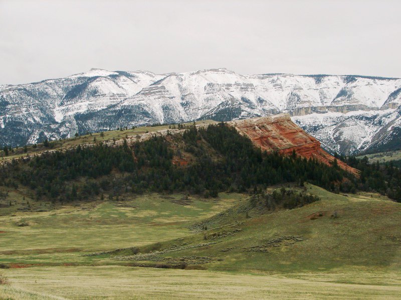
Our trek to the Northeast Entrance of Yellowstone took us through breathtakingly beautiful country.
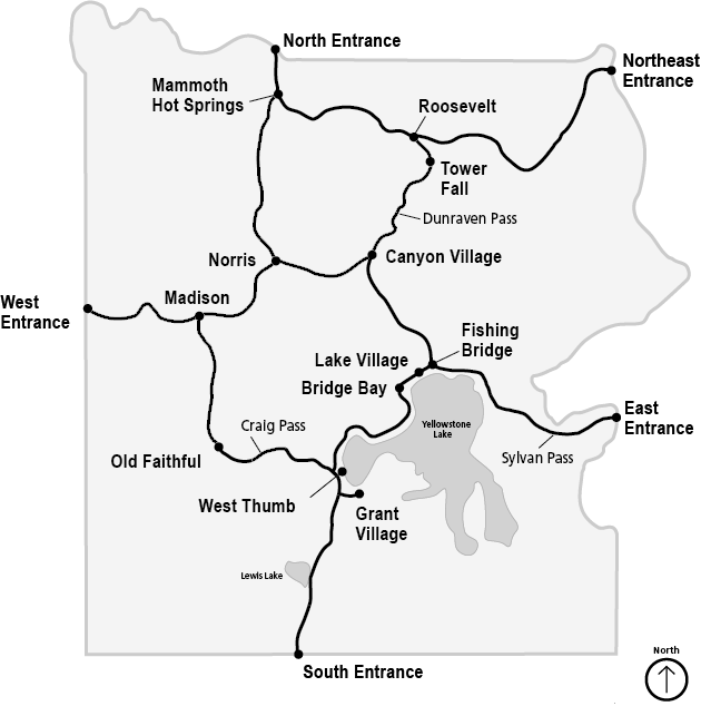
We had been merrily on our way to Yellowstone, but were stopped dead in our tracks. The East Entrance to the park was closed due to four significant snow slides blocking the road at Sylvan Pass. We had come too far and were too close to give up and go home without seeing Yellowstone. So we decided to try the next nearest entrance—Northeast Entrance—which was at the park’s far northwest corner.
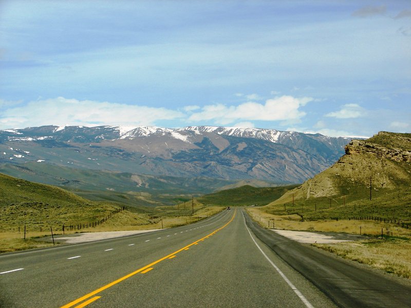
Heading north by northwest on Highway 120 . . . to Yellowstone’s Northeast Entrance.
. . . Road Trip thru Wyoming . . .
May 15-16-17, 2011
Day Two (cont’d): Yellowstone or Bust / Trek to NE Entrance
Monday, May 16, 2011 . . . After being thwarted at the East Entrance, we returned to Cody . . . and headed northwest on Highway 120 (Belfry Highway) . . . to the Chief Joseph Scenic Byway (Highway 296) . . . to Highway 212 north . . . through the small towns of Coulter Pass, Cooke City, and Silver Gate in Montana . . . to Yellowstone’s Northeast Entrance.
Travel time (Route 2: Cody to Yellowstone’s NE Entrance, not including stops for photos) – 80.5 miles, 1 hour 48 minutesTravel time, thus far, for the day (including Route 1): 184.5 miles, 3 hours 41 minutes
Highway 120 (Belfry Highway) is the only road you can take from Cody that goes to Yellowstone’s Northeast Entrance. It zigzags northwest out of town and is hard to follow at first, but once it crosses the Shoshone River and you find yourself outside the city limits, there’s nothing but rolling grassland, vast open range, and mountain views.
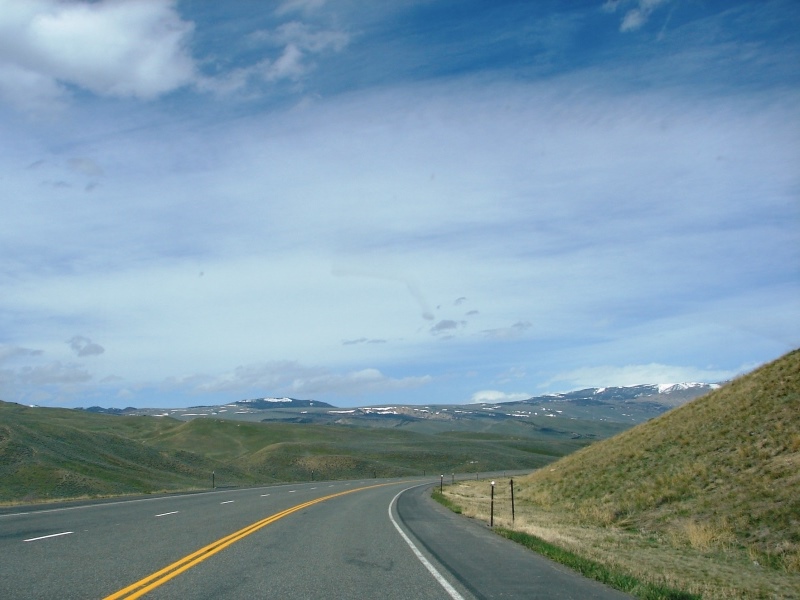
Turn-off for Chief Joseph Scenic Byway is just around the bend.
Chief Joseph Scenic Byway
The Chief Joseph Scenic Byway (Highway 296) is highly regarded as one of the most scenic drives in Wyoming. It’s about 17 miles north of Cody and extends 47 miles northwest—from Highway 120 to the Beartooth Highway (Route 212)—linking Cody with Yellowstone’s Northeast Entrance.
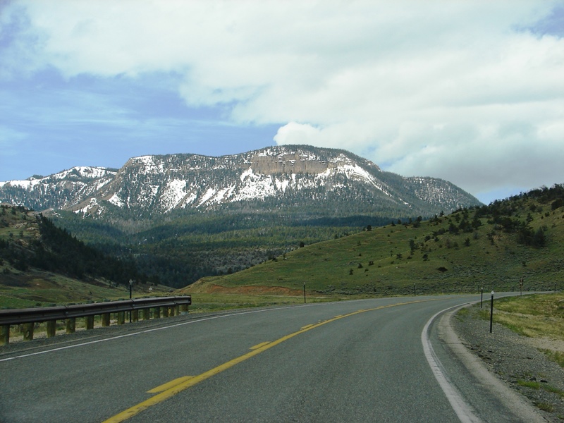
Snow-capped mountains loom large in the distance.
Chief Joseph Scenic Byway is named for Chief Joseph, leader of the Wallowa band of Nez Perce, a Native American tribe indigenous to the Wallowa Valley in northeast Oregon. The Byway follows a portion of the route taken by Chief Joseph as he led the Nez Perce from Oregon to Montana during an epic attempt to flee the U.S. Cavalry in 1877.
Two Dot Ranch
The first eight miles of the Chief Joseph Scenic Byway run through a section of historical Two Dot Ranch. The area is unfenced and designated open range. Cattle dot the landscape and are free to graze wherever they want. It’s not unusual to find them near the road so extra care is needed around the many turns.
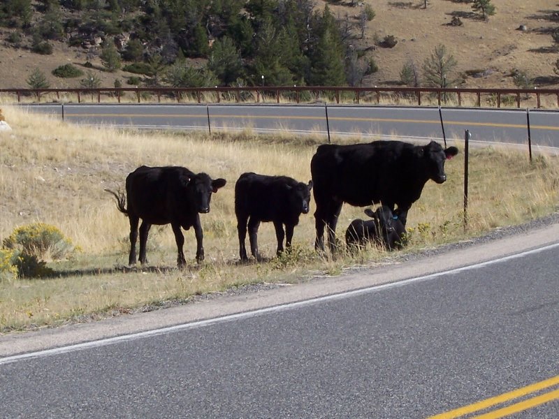
Cattle on the Chief Joseph Scenic Byway. (Photo: Knight Adventures)
We didn’t see it, but wish we had
With cattle roaming free on Two Dot Ranch’s open range, from time-to-time cowboys on horses to round up the livestock and take them home. Unless you have inside info, a cattle drive is not something you can plan to see while on vacation. But if you’re in the right place at the right time, it’s a traffic-stopping experience and definite photo op.
Scenery on the Chief Joseph Scenic Byway is awesome.
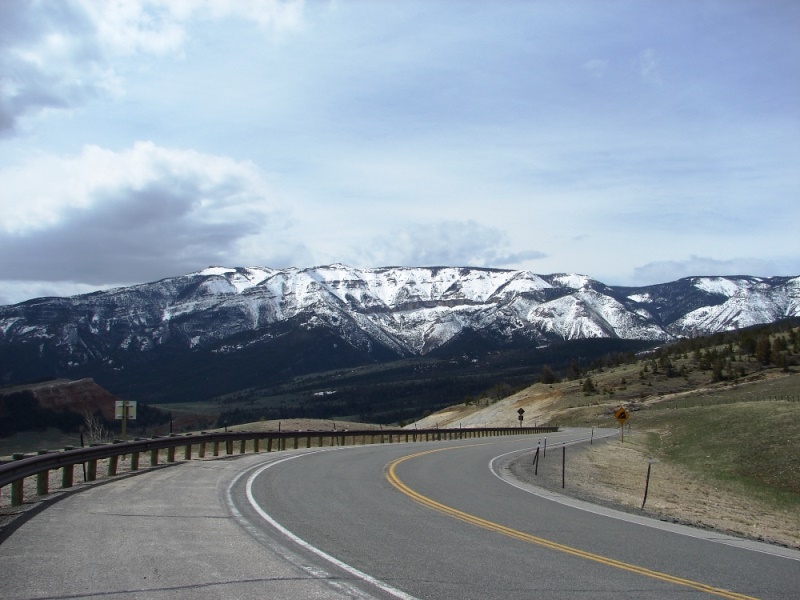
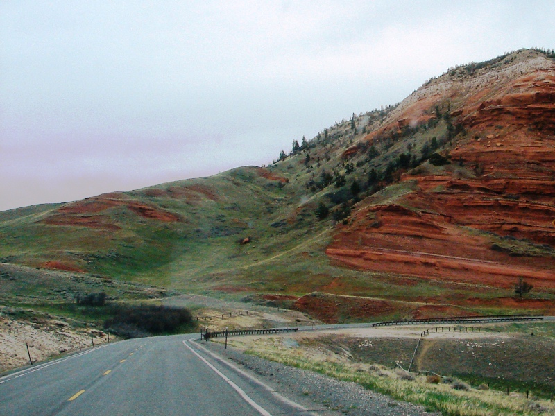
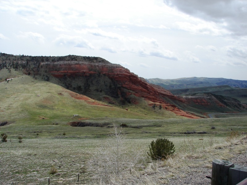
Around the turn, a Chugwater Formation comes into view, just visible in the shadows [on left].
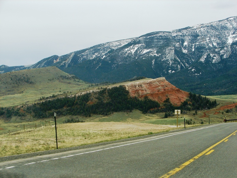
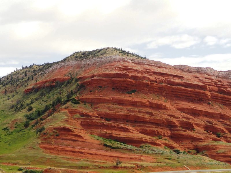
A closer view of that same Chugwater Formation is simply breathtakingly beautiful. Its rich red rock is stunning against a soft pallet of green, blues of the mountains, and cool hues of the surrounding landscape.
The rich brick-red of the Chugwater Formations are offset by every imaginable shade of green—emerald grass, silvery sagebrush, forest green shrubbery—against the dark mountains and soft blue skies. The Formations contrast dramatically with the greenery around them . . . and are ancient. They date back to before the Jurassic period of dinosaurs 250 million years ago.
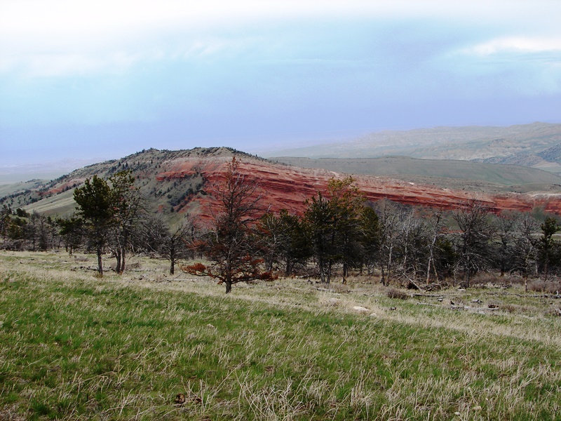
The Chugwater Formations are composed primarily of siltstones and durable, fine sandstones containing few fossils. They are red because of oxidation of iron minerals within the rock.
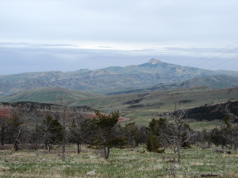
To the east, Heart Mountain is visible in the hazy distance (about 43 miles away).
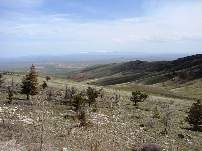
Rolling foothills, as far as the eye can see, disappear into the horizon.
Dead Indian Pass
From Two Dot, you enter Shoshone National Forest and start winding your way up Dead Indian Hill. It’s a slow, gradual climb. Elevation at the summit is 8,673.
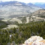
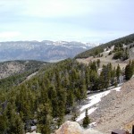
Dead Indian Summit Overlook, a paved turnout at the high point of the Byway, provided a perfect place to stop. View from the overlook, wow. Just wow.
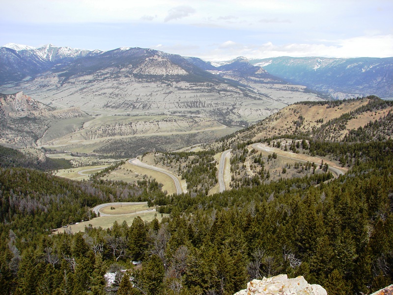
View from Dead Indian Overlook.
In every direction all you see are mountains and forests. It’s hard to capture it all in a photo without a wide lens the size of China.
What you’re looking at is the North Absaroka Wilderness to the south, Dead Indian Creek below, Sunlight Basin, the volcanic Absaroka Range of the mighty Rockies beyond, Clarks Fork Canyon, with Gallatin National Forest and the granite Beartooth Mountains to the north. It’s a pristine, rugged, remote, wild landscape with majestic snow-capped peaks stretching into the distant horizon in all directions, plunging canyons, and deep valleys disappearing around forested ridges and slopes.
The view from Dead Indian Overlook is beyond awesome.
A stone marker commemorates the historical significance of Dead Indian Pass.
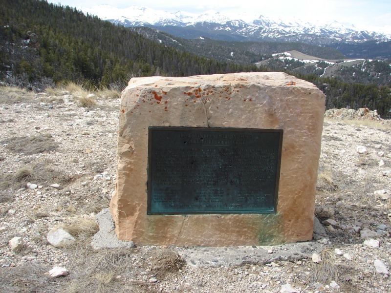
Stone marker at Dean Indian Summit Overlook.
The inscription on the stone marker reads:
This pass is the summit of Dead Indian Hill. Through this portal great herds of wild game seasonally migrated from the mountains to the plains. This high pass was the gate way for countless Indian hunting and war parties, and through this portal Chief Joseph, in 1877, led his Nez Perce Indians in a strategic and defensive retreat, pursued by U.S. Army soldiers. Over this one and only opening of the valleys to the west traveled a vast army of miners to seek the wealth of Cooke City. And down this steep hill the early settlers of Sunlight Basin braved its dangers. The first road improvement was made possible in 1909, by dwellers of Sunlight Valley whose names are here inscribed . . .
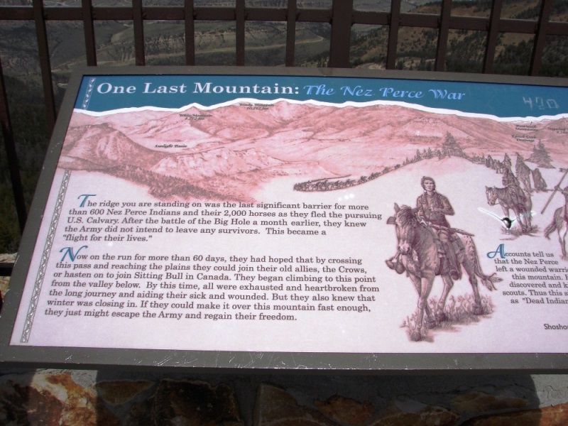
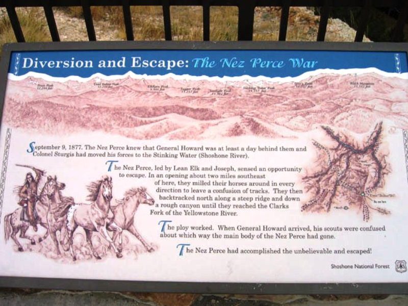
More signs at the overlook explain the 1877 escape over this pass by Chief Joseph and the Nez Perce. I can only imagine their desperation and determination as they traveled through the mountains and wilderness in their epic attempt to flee from the U.S. Cavalry.
The Flight of the Nez Perce
In 1877, the Nez Perce were forced off their native land in Oregon by the U.S. government. Refusing to sign a treaty to settle on a reservation, Chief Joseph and his band of Nez Perce set off for Canada with the U.S. Cavalry in hot pursuit. For over three months, the Nez Perce outmaneuvered and battled their pursuers, traveling 1,170 miles—across Oregon, Washington, Idaho, Wyoming, and into Montana—with the ultimate hope of reaching asylum with Sioux Chief Sitting Bull in Canada. They fled through Yellowstone and over what is now the byway named in Chief Joseph’s honor. At Dead Indian Pass, they managed a successful escape north into Montana. On October 5, 1877, however, after a devastating five-day battle during freezing weather conditions—with no food or blankets and the major war leaders dead—Chief Joseph formally surrendered in the Bear Paw Mountains of the Montana Territory—just 40 miles short of the Canadian border and freedom. Read more
Dead Indian Pass is where the Nez Perce almost succeeded in shaking their pursuers.
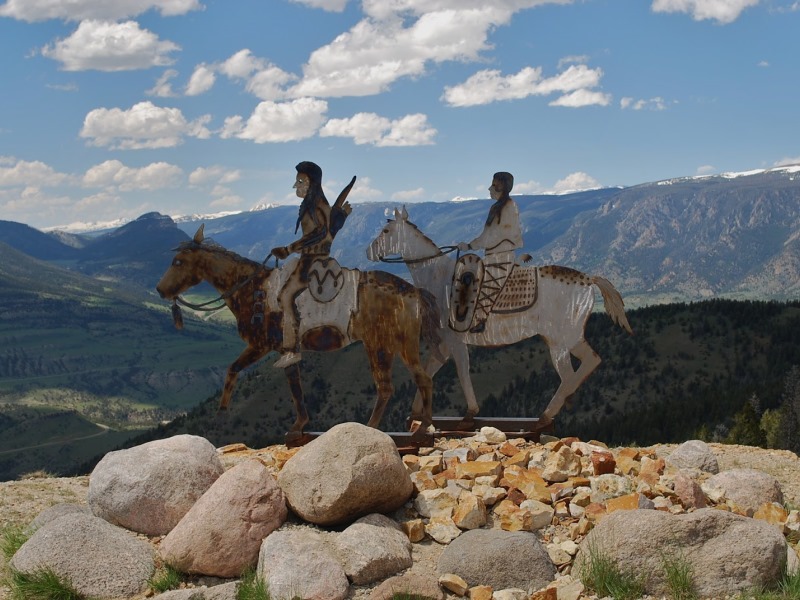
At the north end of the parking area on Dead Indian Summit are two metal sculptures of a Native American man and woman on horses. (Photo: Ladybug’s Lair)
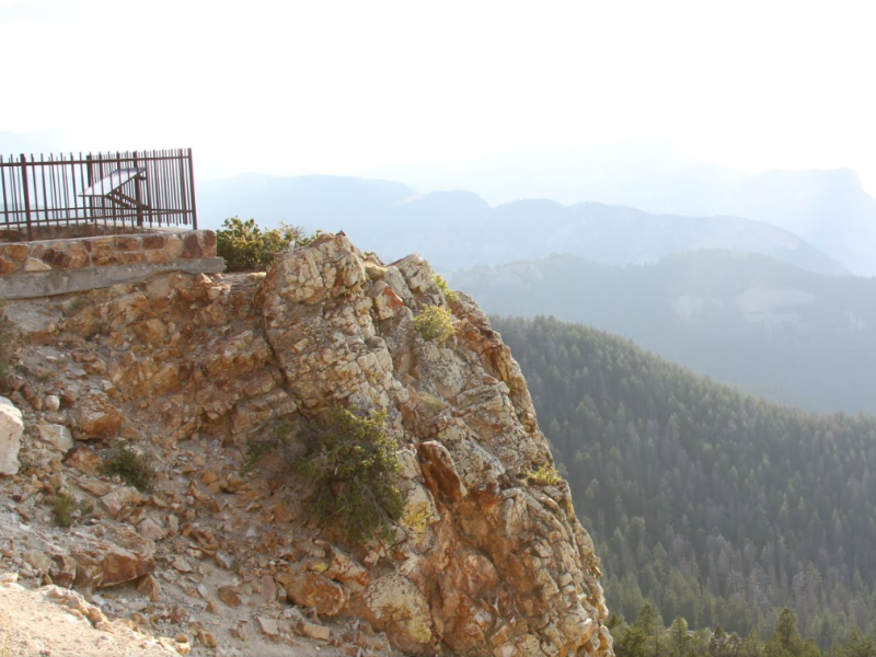
Rugged rock and a plunging cliff at Dead Indian Summit Overlook.
We missed it, but it’s worth seeing
A bit farther up the road is another scenic overlook. This one is easy to miss if you don’t see the “Point of Interest” sign. Just past a bend in the road, the wide vista comes into view with a small pullout where you can park and look out at Clarks Fork Canyon, with its vertical 2,000-foot cliffs, and the Beartooth Plateau.
Descending from Dead Indian Pass, you encounter the series of switchbacks seen from the overlook. Navigating the switchbacks can be tricky. The road is paved, but there are no street lights and, at times, no guard rails. Winding your way through the mountain is slow-going.
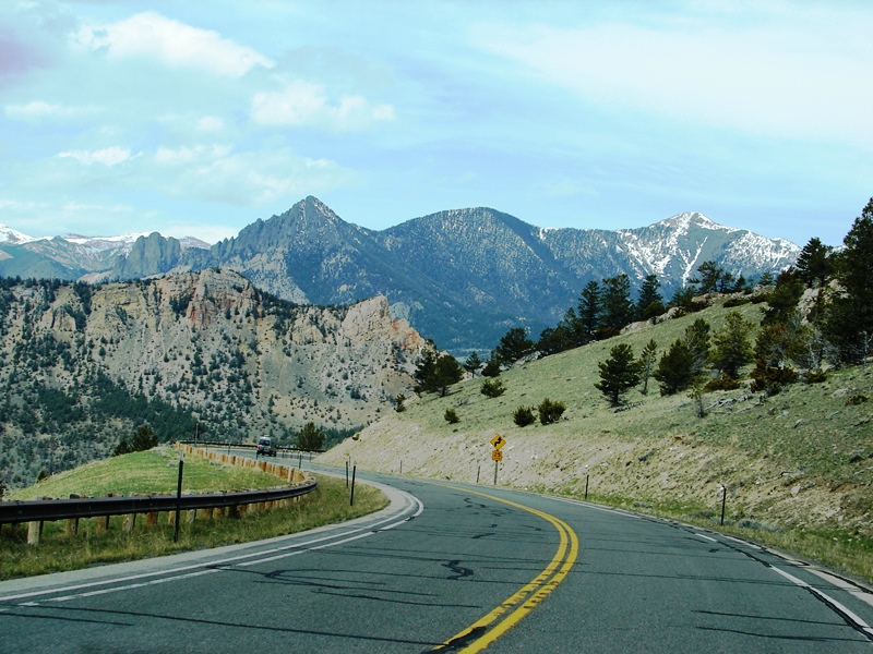
Descending from Dead Indian Pass on our way west to Yellowstone.
Campers might want to know
 Dead Indian Campground is located in Sunlight Basin at the bottom of one of the switchbacks on the Chief Joseph Scenic Byway. Campsites flank Dead Indian Creek, offering soothing water sounds, and a trailhead leads right into the North Absaroka Wilderness. There are other campgrounds along the Byway, and still more can be found on the many gravel side roads that lead deeper into the National Forest. Be aware—this wilderness is a remote, rugged, wild place with thriving populations of grizzly bears, black bears, mountains lions, and wolves. Take care. Take bear spray and practice safe food storage. Read more
Sunlight Basin
Sunlight Bridge is eight miles west of the campground. It is a simple one-span concrete beam bridge that crosses an immense gorge so narrow and deep, sunlight rarely reaches the creek below. At 285 feet, the bridge is the highest in Wyoming.
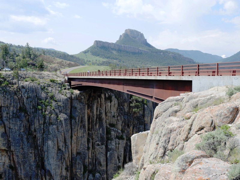
It is a steep vertical drop from Sunlight Bridge into the gorge below. (Photo: Wyoming Tourism)
We missed it, but it’s worth seeing
You can’t miss Sunlight Bridge; you come around the bend and there it is. But you might fail to realize—like we did—that you’re driving over something spectacular. It’s worth a stop. There are parking lots and walkways on both sides of the bridge allowing for some dizzying views of Sunlight Creek.
Because Sunlight Basin is so remote, it’s been said the only thing that can get into the valley most of the year is sunlight . . . hence the name.
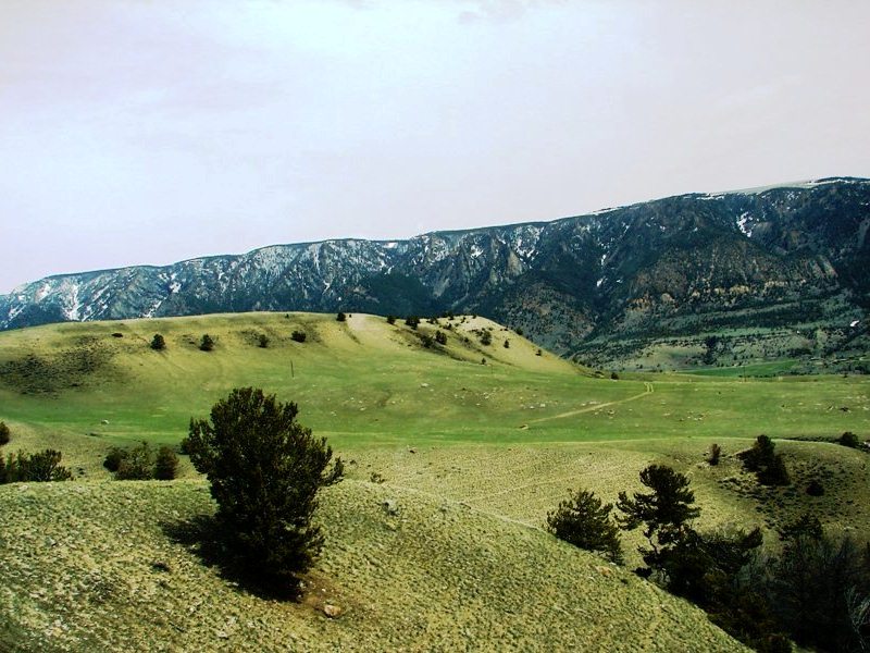
Rolling emerald foothills near Antelope Mountain.
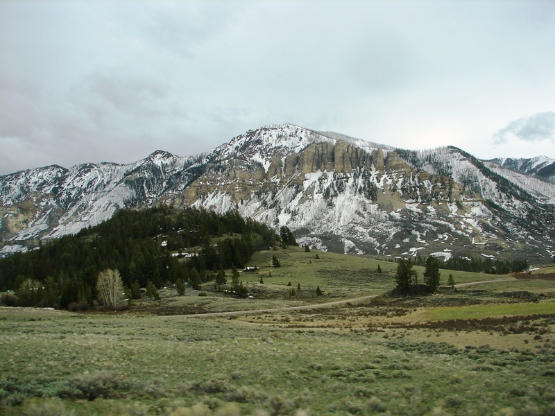
Cathedral Cliffs along Chief Joseph Scenic Byway.
We missed it, but it’s worth seeing
Swamp Lake Botanical Area lies nestled at the base of Cathedral Cliffs. It’s a rich wildlife habitat and wetland composed of fine-textured sediments (marl), floating vegetation mats, a large number of regionally rare plant species, shallow water with emergent vegetation, and open water for fishing.
Continuing west, the Byway follows the Clarks Fork River. Clarks Fork is a tributary of the Yellowstone and named for Clark of the famous Lewis and Clark duo. It’s wild and scenic, surrounded by forestland, the kind of river bears love—full of brook trout, rainbow trout, and Yellowstone Cutthroat trout—but we didn’t see any bears or other wildlife the entire time we were on the Byway.
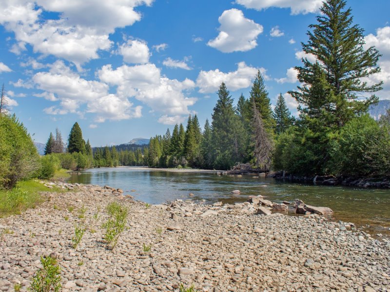
Clarks Fork River near Painter Outpost. (Photo: Elfino 57)
Do not miss this scenic drive
When all was said and done, I was glad the East Entrance to Yellowstone had been closed and we had no choice but to take the Chief Joseph Scenic Byway. We might never have experienced it otherwise. If you are ever in the area, do not miss it. It is a must-see. Highly recommended.
Near the junction for Beartooth Highway (US 212), snow-covered Pilot and Index Peaks dominate the view.
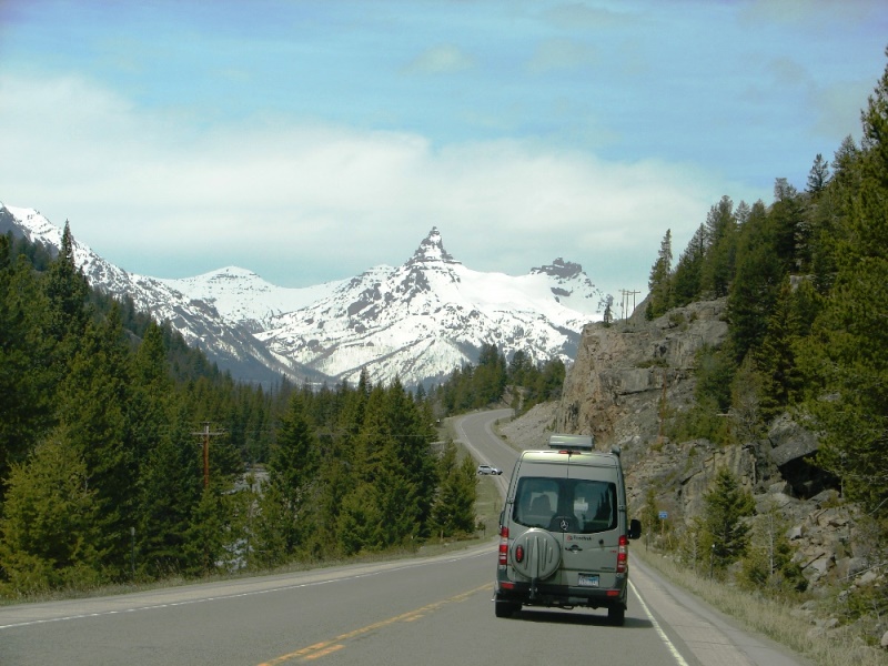
Pilot and Index Peak in the Beartooth Mountains.
We missed it, but it’s worth seeing
The Beartooth Scenic Byway is the section of US Route 212 between Red Lodge and Cooke City. It traces a series of steep zigzags and switchbacks, along the Montana-Wyoming border, to the 10,947-foot high Beartooth Pass. The late CBS News correspondent Charles Kuralt called it “the most beautiful drive in America.” Definitely worth seeing.
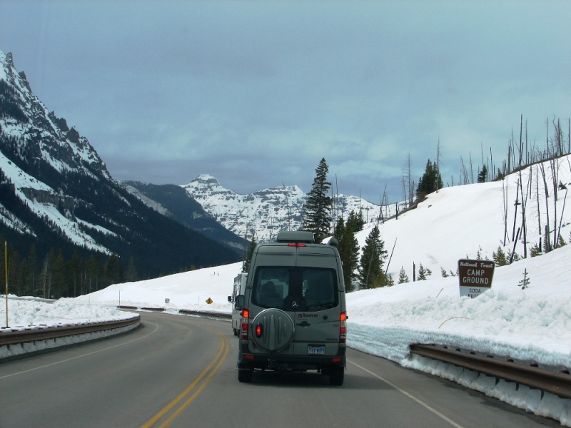
Snow . . . the higher you go, the deeper it gets.
At an elevation of 8,200 feet, Colter Pass, just east of Cooke City, has snow from November through May with an average snowfall of 500 inches a year. They say “only the hearty can live year round on the Pass.” Yep.
Cooke City
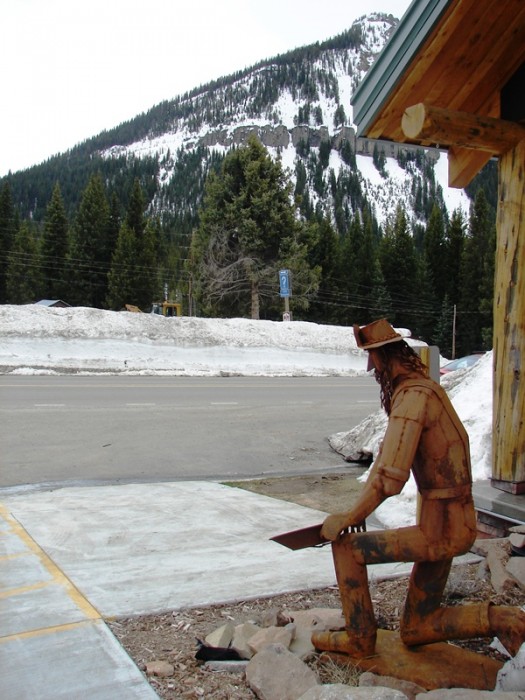
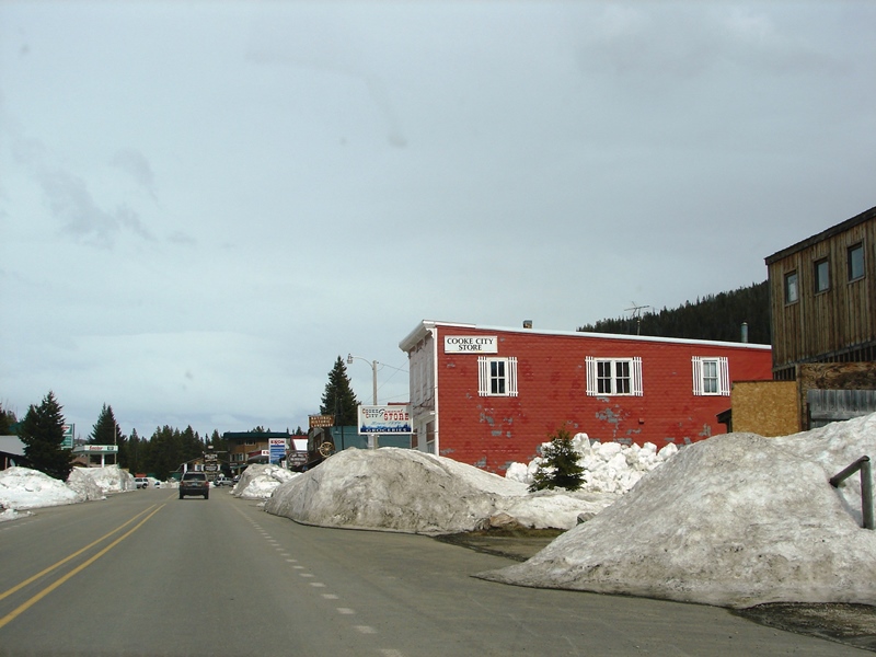
We stopped to get gas and stretch our legs. Piles of snow, plowed to the side of the road, were as high as a grown man in some places. The air was crisp and clean, but not cold.
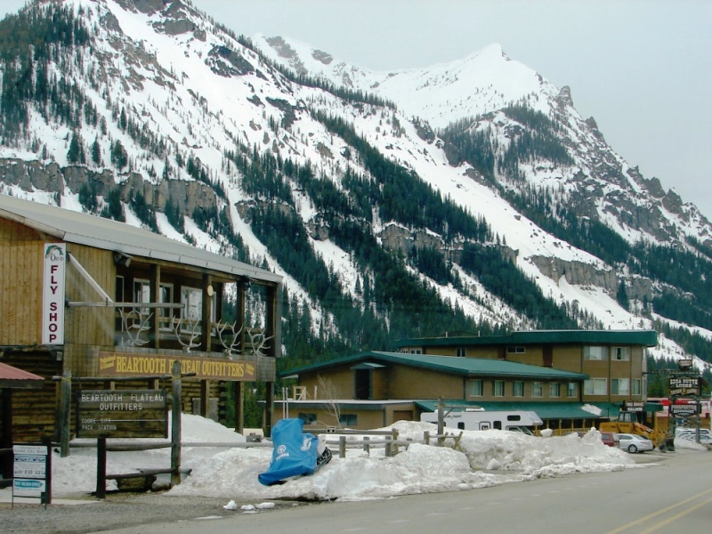
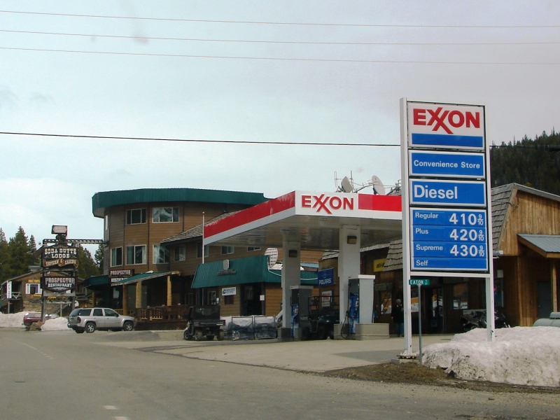
Cooke City, MT . . . our last stop before Yellowstone.
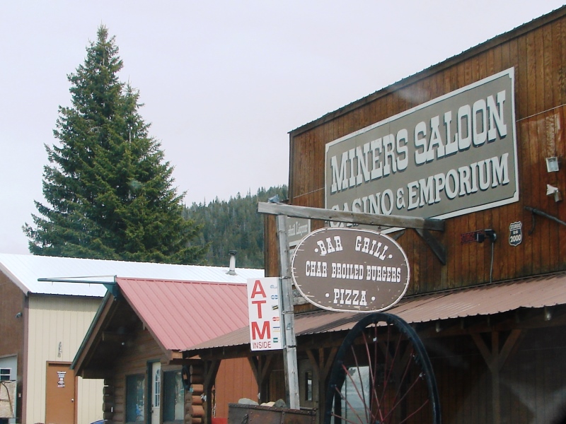
It’s a great place to get gas . . . gifts and souvenirs . . . burgers, pizza, and Moose Drool on tap.
The town caters mostly to tourists. There are motels, restaurants, and bars along the road, a couple of gas stations, a general store, gift shops, and other seasonal businesses. Everything to do in the area involves the great outdoors—hiking, boating, fishing, hunting, mountain bike riding, horseback riding, ATV and snowmobile rentals, skiing, snowboarding, etc.
You can count on meeting bears, moose, and bison while in town or out in the surrounding wilderness.
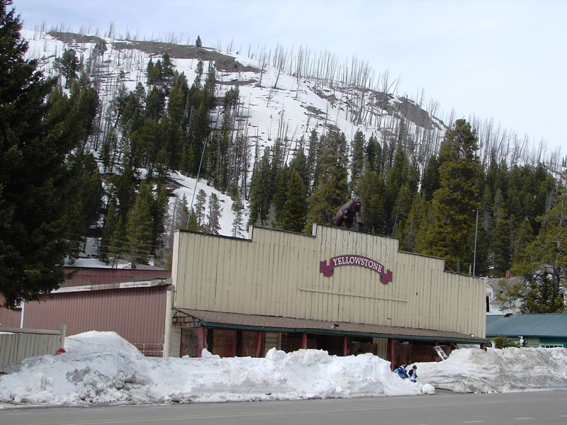
Banked snow as tall as a grown man, dwarf two children.
At the Cooke City Visitor’s Center, we picked up maps for Yellowstone and were told it would be unlikely we would see any bears . . . they only come out in the early morning and at dusk when foraging for food.
Silver Gate
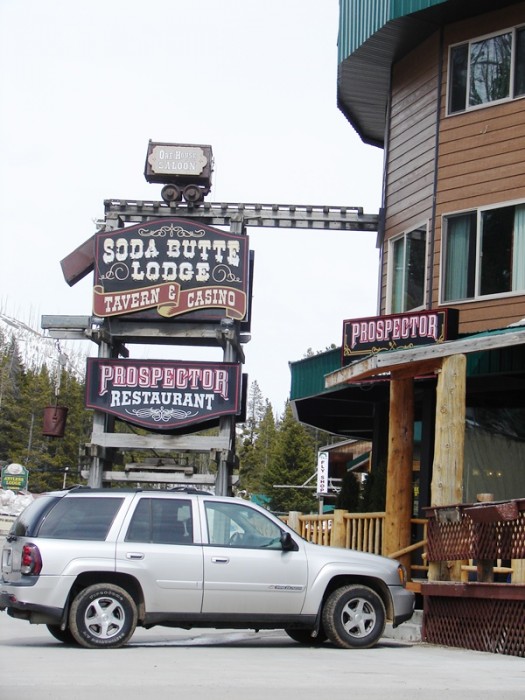
Blink and you’ll miss it. Silver Gate is a tiny town located one mile from Yellowstone’s Northeast Entrance. It has one stop sign, eight full-time residents, a restaurant, a couple of motels, a rustic lodge, some rental cabins, and a general store. Elevation is 7,480 feet with peaks towering above at over 10,000 feet. Soda Butt Creek, with plentiful trout, runs through the town. The ancient Bannock Indian Trail is within close proximity.
A good place to stop or stay
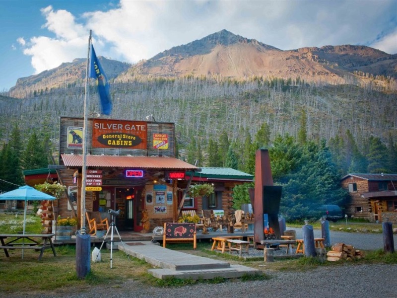
Silver Gate Lodging has a general store and 29 cozy cabins, making it a perfect place to stop for last minute picnic or hiking supplies . . . or, if you need a place to stay while visiting Yellowstone, it makes a great home base. It’s all about location location location. One mile from Yellowstone’s Northeast Entrance, away from the crowds, surrounded by majestic mountains and pristine wilderness, you couldn’t ask for anything more serene and convenient.
Yellowstone National Park
At last . . .
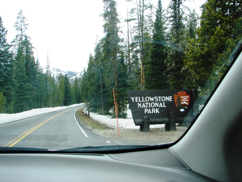
A sight for celebration.
. . . and the road was open.
Copyright © 2011 Patricia Petro/Tom Schmidt. All rights reserved.
Maps and some photos were found online. Links to the source sites have been provided. I encourage you to visit these sites to read what others have to say.
America’s Byways | Cooke City Chamber of Commerce | Brett DeWoody | Knight Adventures | Ladybug’s Lair | The New World Mining District | Nez Perce Campaign | Shoshone National Forest: Campground List | Silver Gate Lodging | Jon Vermilye | Wyoming Tourism
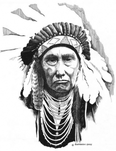
Artwork: “Chief Joseph” by Paul Shafranski, pen and ink, 2013.


Hi, I am reading your journal about your Cody, Yellowstone trip. It is the most enjoyable thing I’ve ever read and is immensely helpful for planning our upcoming trip, in about a month, to the same area. It is great to read a first-hand diary of the very roads we are hoping to take. We are in our mid 60’s, and this is our first trip to The Rockies. Tell me, will we have trouble breathing since the air is thinner? We are in reasonable good health. I’d love to talk to you more, but I plan on reading more of your empty nest. Even though these entries appear to be 5 years old, I find it very enjoyable; and my husband and I sat beside each other and looked at your wonderful pictures. Thank you so much. Sincerely, Juanita Bainter
Hi Juanita,
Thanks for writing. It’s nice to know the tales of our trip to Wyoming are giving you and your husband some idea of what to expect. The Rockies are breathtakingly beautiful and awe-inspiring. Standing on the tallest ridge there is nothing but peace and quiet and fresh air . . . and mountains as far as the eye can see in all directions. It was truly amazing and unforgettable. The air is thinner, but you shouldn’t have any breathing issues. We didn’t. We loved it so much, we plan to go back–travel up through Jackson Hole and the Tetons into Yellowstone via the South Entrance and stay in the park for at least 10 days.
Have a safe and happy trip. I hope you enjoy yourself as much as we did.